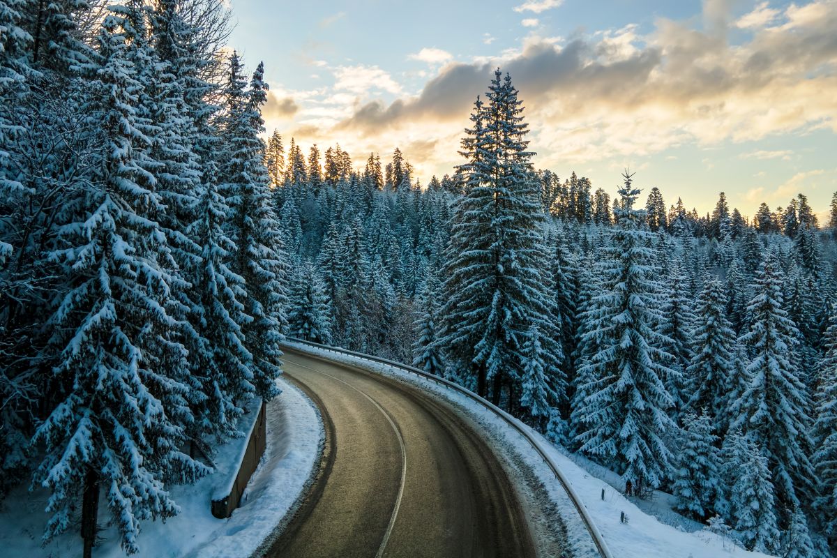
The drive from Glenwood Springs to Aspen follows Highway 82 for about 40 miles. In winter, the route becomes especially important because the Colorado Department of Transportation (CDOT) closes Independence Pass, cutting off the eastern approach to Aspen. With the pass shut, traffic from I-70 reaches Aspen through Glenwood Springs.
In good road conditions, the drive from Denver to Aspen covers about 200 miles and takes roughly 3.5 to 4 hours. Many trips begin at Colorado’s largest airport. You take I-70 west through Glenwood Canyon, then turn onto Highway 82 in the town where the winter route leaves the interstate.
Other starting points change the distance:
The return trip follows the same roads in reverse, and the options for getting from Aspen to Denver change with the season.
In summer, some motorists cross Independence Pass instead. In winter, that road closes. CDOT names westbound I-70 to Glenwood Springs, then CO 82, as the alternate route from the Denver area.
Highway 82 follows the Roaring Fork River upvalley, and you pass these communities in order:
Near the end, you pass the Aspen/Pitkin County Airport, about 3 miles from downtown. A traffic circle marks the west side of town.
When CDOT announces an Independence Pass closure, it affects the high-elevation stretch of Highway 82 between Aspen and Twin Lakes, not the Glenwood Springs-to-Aspen route. For the October 31, 2026 closure, CDOT identified mile points 51.1 and 68.5.
CDOT typically reopens the pass the week ahead of Memorial Day weekend, weather permitting. The road crosses the Continental Divide at 12,095 feet. Heavy snow at that height makes it impassable in winter.
Even in summer, the road is narrow and winding, with tight curves and single-lane segments.
The Colorado traction law covers the I-70 Mountain Corridor between Dotsero and Morrison. It applies each year from September 1 through May 31. That corridor includes the mountain section of the drive from Denver. CDOT activates the law during winter storms or when conditions require, and it can do so on any state highway.
The law applies to every motorist who isn’t operating a commercial motor vehicle. During an activation, you need one of two things:
Check the tire sidewall for its rating and measure the tread with a gauge. If your vehicle doesn’t meet the applicable tire and drivetrain requirements, you’ll need chains or an approved traction device. CDOT also highly recommends an AWD or 4WD vehicle in the mountains whenever possible.
In a severe storm, CDOT can switch to the Passenger Vehicle Chain Law as the last safety measure ahead of a highway closure. Then every vehicle needs chains or an approved device.
Aspen road conditions change with each storm, so look at current reports every time you go. The COtrip Planner app and the 511 phone line both show road conditions and closures.
Before setting off, take a few minutes to prepare for the conditions ahead:
The Colorado State Patrol calls I-70 a challenging road in winter, with heavy traffic, low visibility, and steep grades. Troopers urge motorists to avoid tailgating and speeding.
Colorado also treats passing a lit snowplow in tandem formation as a Class A traffic offense. Passing tandem plows is dangerous because you can meet whiteout conditions and ridges of snow between the lanes.
Visitors unfamiliar with Colorado’s winter roads may prefer private transportation from Glenwood Springs or the regional airports, particularly when traveling after dark or with ski equipment.
The route from Glenwood Springs to Aspen stays the same through winter, but the conditions don’t. Check the latest road reports before leaving, and avoid planning a tight arrival schedule when snow is forecast. A little extra time makes those last 40 miles easier to manage.